
The climatological peak of the Atlantic hurricane season was in mid-September, and so far, the season has been very quiet as El Niño wind shear breaks apart tropical disturbances in the Atlantic Basin.
On Monday morning, the National Hurricane Center gave the tropical disturbance a 70% chance of development over the next seven days, up from 50%.
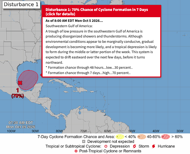
"A tropical disturbance could threaten states along the Gulf Coast next weekend, bringing the potential for strong winds, inland flooding, storm surge, and tornadoes from Louisiana to Florida. Timing, track, and intensity remain highly uncertain within this projected range," private weather forecasters at BAM Weather wrote on X.
A tropical disturbance could threaten states along the Gulf Coast next weekend, bringing the potential for strong winds, inland flooding, storm surge, and tornadoes from Louisiana to Florida. Timing, track, and intensity remain highly uncertain within this projected range. https://t.co/VY7iLLPrnw
— BAM Weather (@bam_weather) October 4, 2026
The tropical disturbance's projected track points toward the Gulf Coast between Louisiana and Florida.
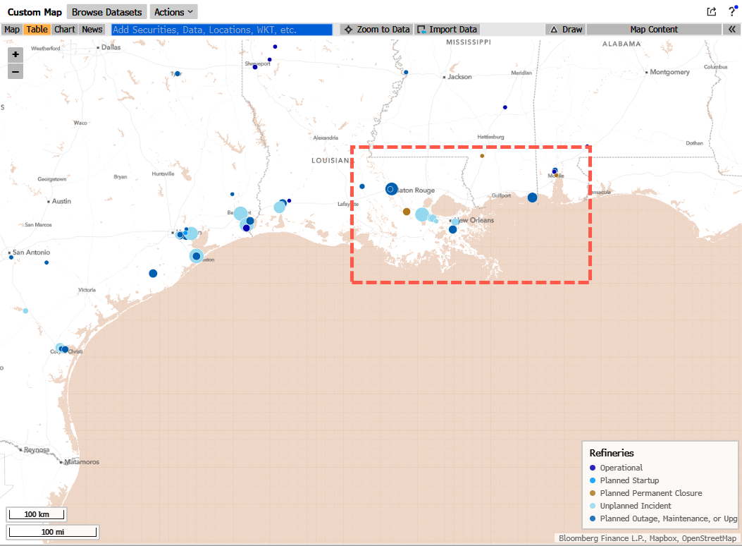
Notably, Louisiana is a major US fuel-supply and export hub, with about 3 million barrels a day of crude-refining capacity, roughly one-sixth of the national total.