Geospatial infrastructure intelligence platform for discovering and analyzing physical-world assets using OpenStreetMap data.
Sightline enables searching, monitoring, and analyzing real-world infrastructure including:
- Telecommunications towers
- Power plants and substations
- Data centers
- Airports and helipads
- Ports and harbours
- Warehouses and industrial facilities
- Pipelines and refineries
- Military installations
- Hospitals, prisons, embassies
flowchart TB
    subgraph Frontend
        SearchBar
        Filters
        ResultList
        MapView["MapView (Leaflet.js)"]
    end

    subgraph Backend
        route["route.ts"]
        parser["parser.ts (NLP)"]
        geo["geo.ts (Nominatim)"]
        overpass["overpass.ts (OSM)"]
        cache["cache.ts"]
    end

    subgraph External["External APIs"]
        Nominatim["Nominatim (Geocoding)"]
        OverpassAPI["Overpass API (OSM Data)"]
    end

    Frontend -->|POST /api/search| route
    route --> parser
    route --> geo
    route --> overpass
    route --> cache
    geo --> Nominatim
    overpass --> OverpassAPI
All infrastructure data comes from OpenStreetMap, a collaborative mapping project. OSM data is crowd-sourced and may contain inaccuracies or gaps.
Geographic resolution uses the Nominatim geocoding service to convert place names to bounding boxes and coordinates.
Infrastructure queries execute against the Overpass API, which provides read-only access to OSM data.
telecom towers in karnataka
power plants near mumbai
data centers in california
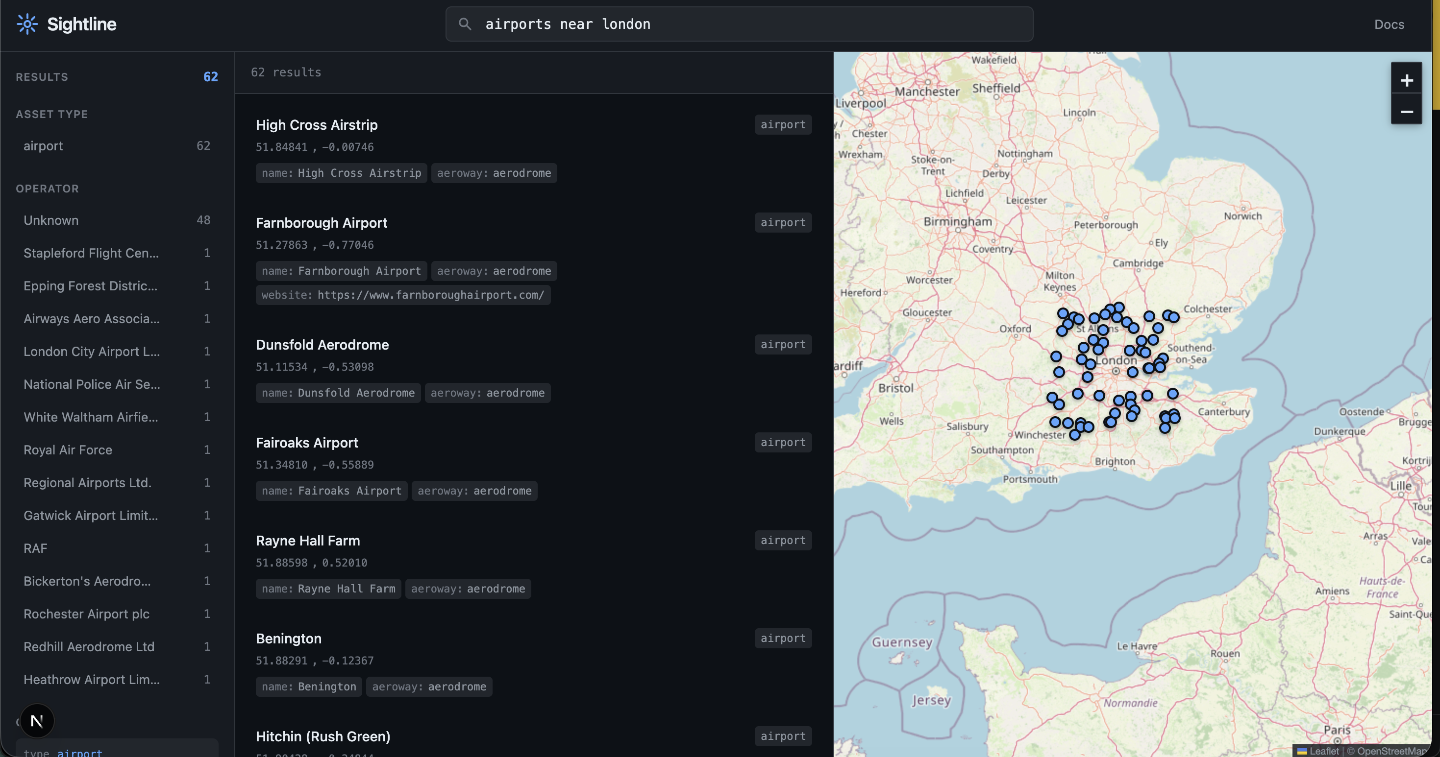
airports in germany
type:telecom operator:airtel region:karnataka
type:data_center operator:google
type:substation region:texas
type:airport country:france
| Parameter | Description | Example |
|---|---|---|
type: |
Asset type | type:power_plant |
operator: |
Operator/owner | operator:google |
region: |
State/region | region:bavaria |
country: |
Country | country:india |
near: |
Proximity search | near:london |
radius: |
Search radius (km) | radius:100 |
Infrastructure
telecom/tower/antenna/mast- Telecommunicationsdata_center- Data centerspower_plant/substation- Power infrastructuresolar/wind/nuclear- Energy generationdam- Damspipeline/refinery- Oil and gasoil_well/gas_well- Extractionstorage_tank/silo/gasometer- Storagecooling_tower/chimney- Industrial structureswater_tower/water_treatment/wastewater- Water infrastructure
Transportation
airport/helipad/airfield- Aviationport/harbour/ferry_terminal- Maritimetrain_station/railyard/metro- Railbus_station/parking- Ground transportbridge/tunnel- Crossings
Commercial & Industrial
warehouse/factory/industrial- Industrialquarry/mine/landfill- Extraction/disposalfuel/gas_station/charging_station- Fuel/energy retail
Government & Military
military/bunker/barracks/naval_base- Militaryembassy/courthouse/border_control- Governmentpolice/fire_station/prison- Public safetycheckpoint/range- Security
Education & Culture
school/university/college- Educationlibrary/museum/theatre/cinema- Culturestadium- Sports
Healthcare
hospital/clinic/pharmacy- Medicaldentist/veterinary- Specialized care
Other
bank/atm/post_office- Serviceshotel- Accommodationchurch/mosque/temple/synagogue- Religiouscemetery- Memoriallighthouse/observatory/radar- Monitoringcrane/windmill/watermill- Mechanical
Open http://localhost:3000.
app/
├── page.tsx              # Main application page
├── layout.tsx            # Root layout
├── globals.css           # Global styles
└── api/
    └── search/
        └── route.ts      # Search API endpoint

components/
├── SearchBar.tsx         # Query input
├── Filters.tsx           # Filter sidebar
├── ResultList.tsx        # Results display
└── MapView.tsx           # Leaflet map

lib/
├── types.ts              # Type definitions
├── parser.ts             # Query parsing and NLP
├── geo.ts                # Nominatim integration
├── overpass.ts           # Overpass API queries
└── cache.ts              # In-memory caching
npm install -g vercel
vercel
No environment variables required. The application uses public OpenStreetMap APIs.
- Nominatim: 1 request/second (enforced by Nominatim usage policy)
- Overpass API: Fair use, avoid heavy queries
This tool accesses publicly available OpenStreetMap data. Users must:
- Respect OpenStreetMap's tile usage policy
- Respect Nominatim usage policy
- Respect Overpass API usage policy
- Not use this tool for illegal surveillance or harmful purposes
- Acknowledge that OSM data may be incomplete or inaccurate
- Not perform bulk automated queries that overload public infrastructure
The presence or absence of infrastructure in OSM should not be taken as authoritative. Always verify critical information through official sources.
MIT